WHO WE ARE

NorthCentral Land Surveying, LLC is a small Land Surveying business located in Central Wisconsin that offers Land Surveying services from Licensed Professional Land Surveyors. We pride ourselves on quality work done at a fair price. As a small business we can keep our prices competitive and finish projects in a timely manner. Please contact us for a free estimate today!

DO YOU NEED A PROFESSIONAL LAND SURVEYOR?
GET A FREE ESTIMATE WITH US.

DO YOU NEED A PROFESSIONAL LAND SURVEYOR?
GET A FREE ESTIMATE WITH US.

LAND SURVEYING SERVICES

boundary services land surveying

BOUNDARY SERVICES

land divisions land surveying

LAND DIVISIONS

flood insurance surveys land surveying

FLOOD INSURANCE SURVEYS

boundary services land surveying
  • Setting or verifying lot corners per an existing deed or survey then mapping the property and filing it with the County Surveyor.
  • Placing stakes along property lines (fence installation).
  • Mapping improvements made to a property such as buildings and utilities.
land divisions land surveying

Certified Survey Maps (CSM), are recorded in the register of deeds office of the county in which the land is located. Such a CSM may be used to:

  • Divide land for sale or exchange.

  • Create lots for building or other development.

  • Clarify metes and bounds descriptions.

  • Reconfigure parcels within a recorded subdivision plat, assessor’s plat, or CSM.

  • Add land to an existing subdivision, assessor’s plat, or CSM parcel.

  • Consolidate parcels in adjoining subdivisions, assessor’s plats, or CSMs.

flood insurance surveys land surveying
  • A Letter of Map Amendment (LOMA) is an official amendment, by letter, to an effective National Flood Insurance Program (NFIP) map.
  • A LOMA establishes a property’s location in relation to the Special Flood Hazard Area (SFHA).
  • LOMAs are usually issued because a property has been inadvertently mapped as being in the floodplain, but is actually on natural high ground above the base flood elevation.
  • Elevation Certificates.

AREAS OF OPERATION

wisconsin land surveying

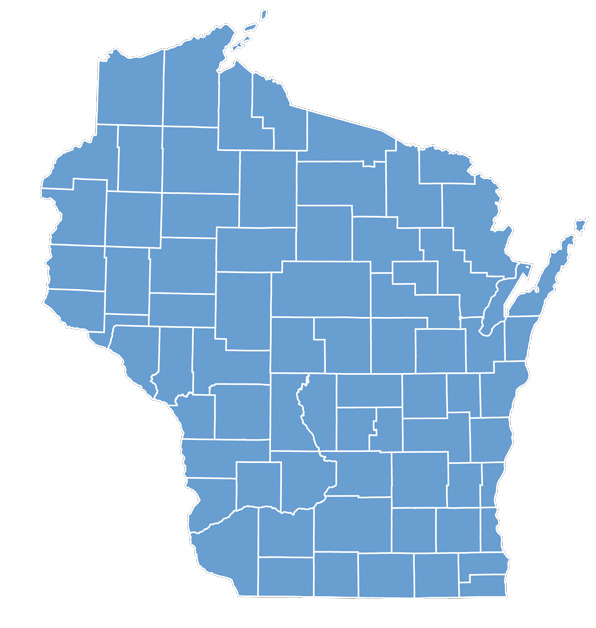
Our Licensed, Professional Land Surveyors are available to work across the entire state of Wisconsin. Some of the areas we service include…

  • Wausau
  • Taylor County
  • Merrill
  • Mosinee
  • Marathon County
  • Weston
  • Stratford
  • Marshfield
  • Lincoln County
  • Abbotsford
  • Medford
  • Wood County
  • Rothschild
  • Antigo
  • Shawano County
  • Waupaca
  • Clintonville
  • Portage County
  • Shawano
  • Wittenburg
  • Clark County
  • Hatley
  • New London
  • Spencer
  • Langlade County
  • Neillsville
  • Waupaca County
  • Rosholt

CONTACT NORTHCENTRAL LAND SURVEYING

We are Licensed, Professional Land Surveyors that offer multiple Land Surveying services throughout all of Wisconsin.